Kilmacduagh Monastery, County Galway, Republic of Ireland

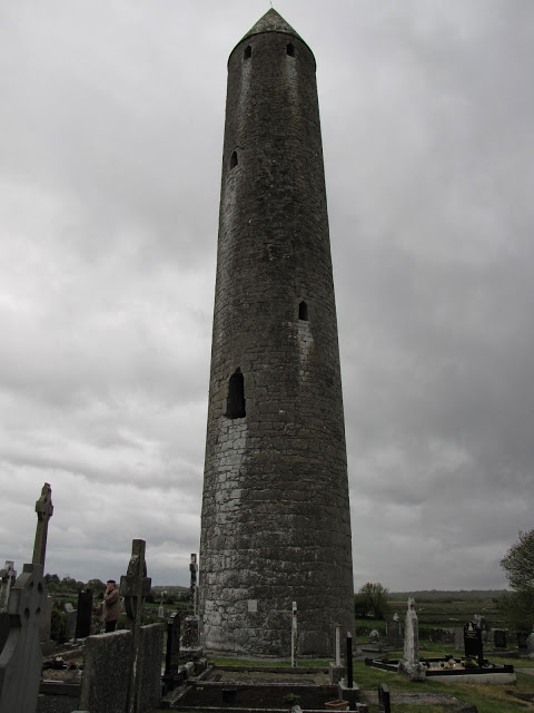
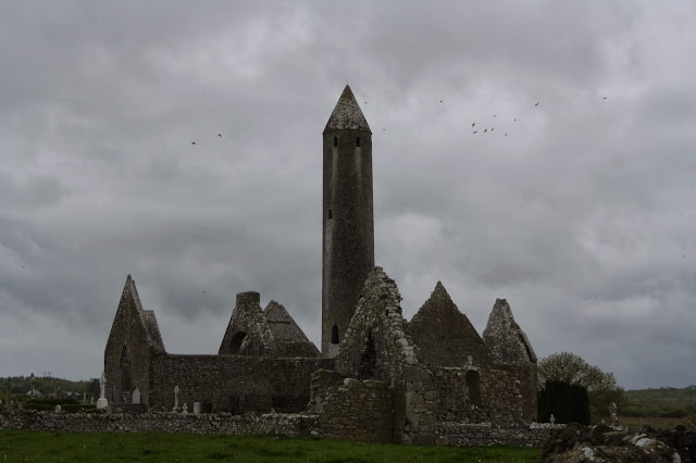
Central church and round tower at Kilmacdaugh. Photo by Joshua Albers, May 26, 2013.

Monuments to death and the crumbling remains of former eras dominated our trip to Ireland, but no site better conjured the macabre than the monastic settlement of Kilmacduagh.

It was also one of the most difficult destinations to find (second only to the Reyfad rock art in Northern Ireland). After a number of misfires and a detour into Coole Nature Reserve, we finally rolled into the settlement’s adjoining parking lot around dusk.

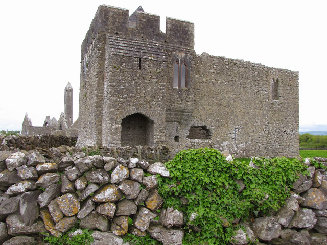
Located near the town of Gort, Kilmacduagh consists of several structures, including a well-preserved, slightly leaning round tower, an Abbott’s House (Glebe), and multiple churches. It isn’t possible to enter the tower, but getting into the Glebe and two of the churches only requires crossing the street and acquiring a key from the caretakers. But beware: they have a protective, bitey little dog, which Josh and his ankles discovered shortly after we rang their doorbell.

The site’s most obvious draws are of course the 11th-12th century round tower, Glebe, and remodeled, pre-Norman “cathedral,” all of which are grouped near the main road.
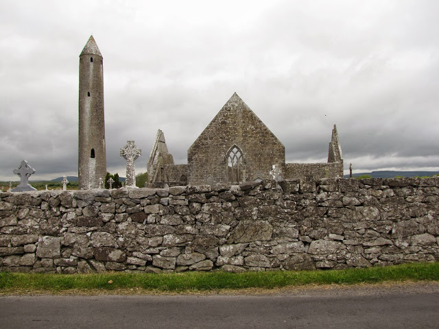
View from main road of round tower, “cathedral,” and cemetery, Kilmacduagh. Photo by Renée DeVoe Mertz, May 26, 2013.
Round tower with typical raised entrance (compare with the roughly contemporaneous sunken tower of Monasterboice, County Louth).
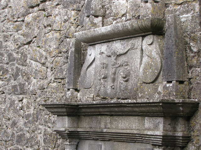
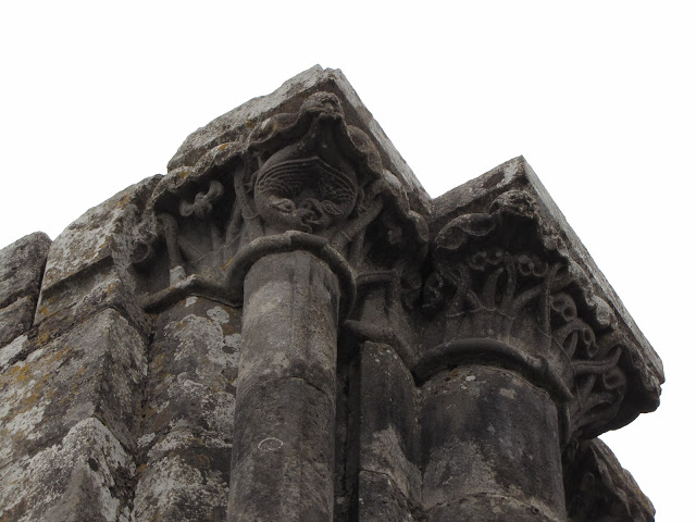
Relief detail from main “cathedral.”
Partially reconstructed Glebe (foreground); cathedral and round tower (background).
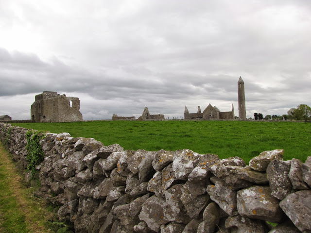
View from side road, showing (left to right): Glebe, secondary church (across main street), “cathedral,” and round tower.

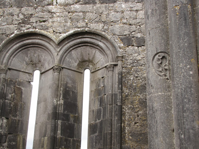
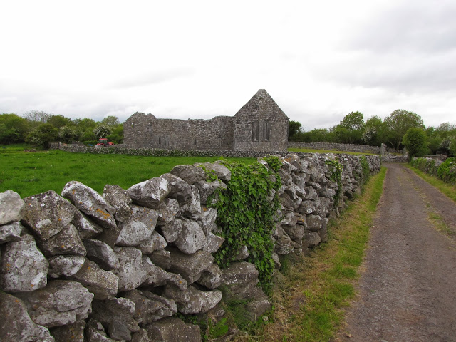
However, the most memorable building is only slightly farther afield and requires closer investigation. Found at the end of the short side road that divides the parking lot from the main site, this small, unassuming church is easily overlooked. Its central spaces—decorated with high, delicate carvings—are enterable with the key.

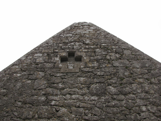
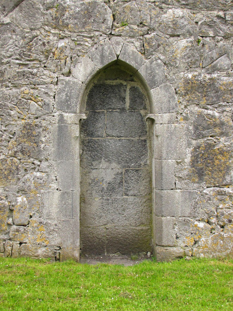
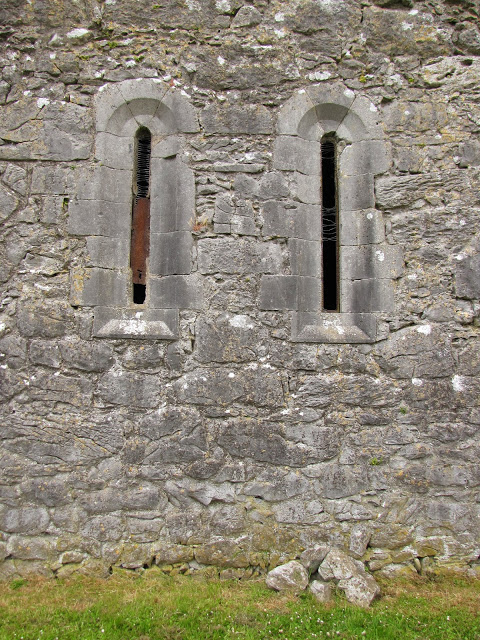
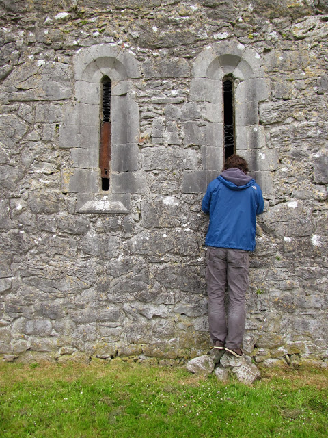
From the interior, this charming but modest space appears to be all there is. However, circumambulating the exterior reveals that many of the windows and doors have been filled with stone, permanently concealing large sections of the building.

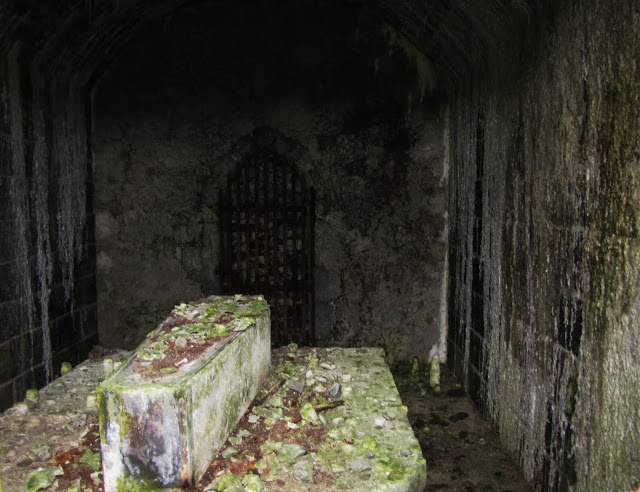
Fortunately, we were not the first people to be curious about the sealed rooms, and those that came before had left us a little assistance.

We were not disappointed by what we found.

Photos by Renée DeVoe Mertz, May 26, 2013, unless otherwise stated.
Monasterboice, County Louth, Republic of Ireland

About seven centuries and 8.5 miles of country roads separate Old Mellifont Abbey from our next stop. The ancient monastic settlement of Monasterboice (Mainistir Bhuithe, or “monastery of Buithe”) was probably founded in the late 5th or early 6th centuries by St. Boyne (St. Buithe), a follower of St. Patrick whose name is now shared by the nearby river and valley. It was an important religious and intellectual center of Celtic Christianity until Mellifont Abbey and the Cistercian order displaced it in the 12th century. Now primarily a cemetery encircled by a low, stone wall, the site includes the remains of two small churches, an imposing but topless round tower, and enormous, heavily decorated Celtic crosses. From a distance, however, these features tend to be subtly camouflaged amongst the cemetery’s full trees and more recent gravestones. Across the street, a gleaming field of bright yellow rapeseed abuts the parking lot.

Monasterboice’s three medieval High Crosses date from the 10th century. Composed of a circle—representing the sun—overlaying the upper portion of a Roman cross, Celtic crosses are tangible examples of the syncretism that occurred between native traditions and the foreign import of Christianity. Like most religious art of the middle ages, their carvings served a didactic purpose and may have been brightly painted for better legibility. No traces of polychromy now exist, however, so theories concerning their original appearance remain purely speculative.

The North High Cross with reconstructed base, Monasterboice.

The North cross, standing closest to the road, is the simplest, most inconspicuous, and most damaged of the three. Only the upper portion of the original, with a central image of Christ, remains.

The West, or Tall, High Cross, with round tower and church (c. 14th century)

The West cross, located closest to the round tower and the ruins of one of the site’s two later churches, is the tallest of the group at 21 ft. Carvings of biblical scenes and abstract patterns envelope its surface, although the details of the figures have largely worn away.

Muiredach’s Cross

Nearby stands Muiredach’s Cross, known for its particularly fine and well-preserved carvings featuring scenes from the life of Christ and the Old Testament. It is named for the inscription at its base, which (according to my DK guide) reads: “A prayer for Muiredach by whom this cross was made.” Despite standing at an impressive 18 ft., Muiredach’s Cross seems almost squat next to the slim, taller forms of the Western cross and round tower.

Even without its roof, the site’s 10th or 11th century round tower stands at 110 ft., although it was once significantly taller. Burials raised the ground level of the cemetery, and as a result the tower’s entrance appears to float just above the earth. When it was first constructed, the same opening would have been installed at least 15 feet up, reachable only by ladder.

Narrow, free-standing structures, round towers were used for both storage and protection against Norse invaders, but were only partially effective in either case. In 1097, Monasterboice’s tower went up in flames, and the medieval manuscripts it contained were destroyed.

Muiredach’s Cross, foreground

All photos by Renée DeVoe Mertz, May 24, 2013.